
Hemlock Grove Trail
Parks Canada / Z. Lynch
Short hikes
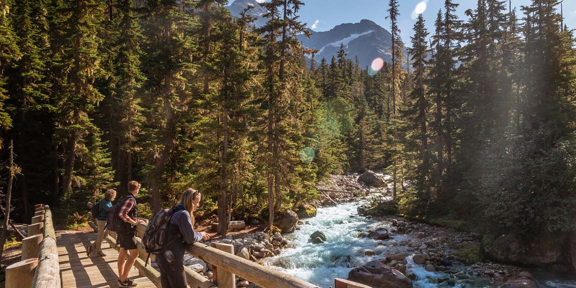
Glacier National Park
Looking for a shorter outing? These lower elevation trails are snow-free first and just off the Trans-Canada Highway. Several follow the path of former rail grades that were active before the Connaught and Mount Macdonald tunnels routed rail travel underground.
Many trails in the park can be accessed from either Illecillewaet Valley or Illecillewaet Campground parking lots. If you are hiking from the Illecillewaet Campground, subtract 2 km from the trail length.
Most requested
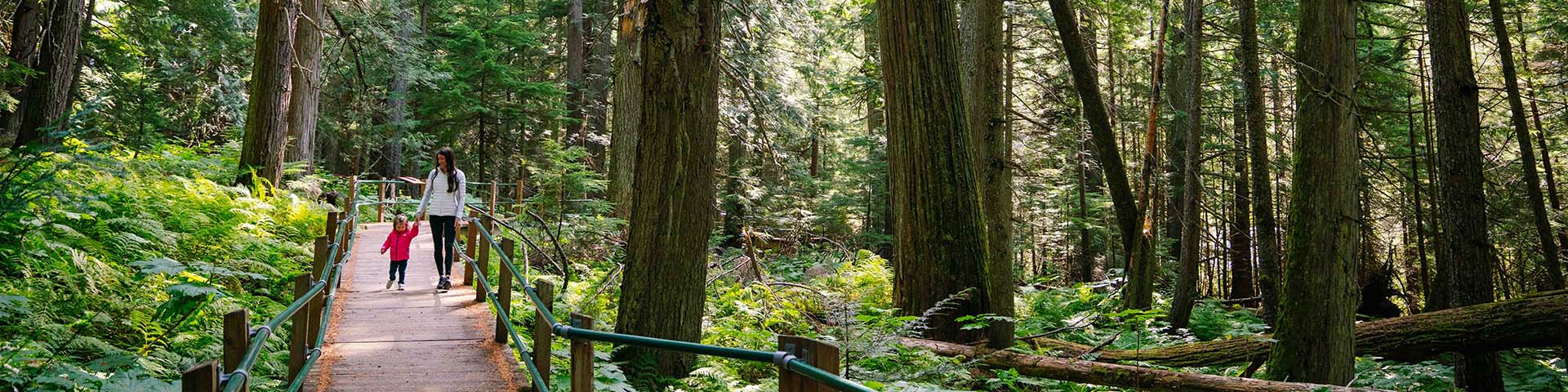
Hemlock Grove Boardwalk
- 350 m (loop)
- Minimal elevation change
- 15 min
- Boardwalk
- Flat to gently rolling
Trailhead: Hemlock Grove Day Use Area
A ramped boardwalk offering a barrier-free rainforest experience among devil’s club, towering cedar and hemlock. Pavement leading up to the trail is uneven due to root damage. Hemlock Grove Boardwalk was developed as a legacy of Rick Hansen’s 1987 Man in Motion World Tour.

Parks Canada / Z. Lynch
Rockgarden
- 430 m (loop)
- Minimal elevation change
- 30 min
- Natural trail with uneven stepping stones
- Steep sections
Trailhead: 1.5 km east of Hemlock Grove Day Use Area
A short trail through lichen and moss covered boulders and evergreen forests. On clear days you’ll see great views of the nearby peaks and glaciers.
Sturdy footwear is recommended for rock staircases, stepping stones, slippery sections and sharp cliff faces.

Tourism Golden / A. Chad
Loop Brook
- 1.7 km (loop)
- Minimal elevation change
- 40 min
- Natural trail
- Old rail grade with steep sections
Trailhead: Loop Brook Viewpoint (just east of Loop Brook Campground)
Interpretive trail highlighting railway history. Walk among giant stone bridge pillars that once carried the rail line across the valley.
This trail, part of Rogers Pass National Historic Site, highlights the stone pillars that once carried the railway track across the valley. These features are among the oldest surviving man-made structures in western Canada.
Parks Canada / I. Houghton
Meeting of the Waters
- 3.3 km* (loop)
- Minimal elevation change
- 30 min
- Natural trail
- Flat with some stairs
Trailhead: Illecillewaet Valley or Illecillewaet Campground*
Forest walk past the confluence of Asulkan Brook and the Illecillewaet River.
You will find western and mountain hemlock, Engelmann spruce and subalpine fir along the trail. When the water is high, during spring runoff or in August when hot weather increases glacial melting, listen for rocks grinding together at the confluence of the streams, as the force of the water tumbles them downstream.
1885 Trail
- 9.2 km* (return)
- Minimal elevation change
- 2 hrs
- Natural trail
- Flat
Trailhead: Illecillewaet Valley or Illecillewaet Campground*
Trail along the original Canadian Pacific rail grade connecting the Illecillewaet and Loop Brook campgrounds. Interpretive signs along the route relive the exciting history of the railway through Rogers Pass.
Abandoned Rails
Trail currently closed
Trailhead: Rogers Pass Summit Picnic Area
Closed until further notice due to slope instability and damaged trail sections.

Tourism Golden / A. Chad
Bear Creek Falls
- 1 km (return)
- 95 m elevation change
- 1 hr
- Natural trail
- Steep
Trailhead: 9 km east of the Rogers Pass Discovery Centre. If travelling from the east, there is no left turn; turn around at Hermit trailhead and approach from the west.
Short trail leading down to a secluded glacial waterfall. At the bottom of the hill, stay on the main trail to go to the falls.
After an easy stroll to the falls, you may work up a bit of steam returning to your vehicle.
The Connaught Creek waters cascade over the falls to join the Beaver River a short distance downstream, eventually ending up at the Pacific Ocean.
Download map and trail information

- Date modified :