
Discover the Icefields Parkway... an experience for everyone
Jasper National Park
A valid national parks pass is required to drive the Icefields Parkway.
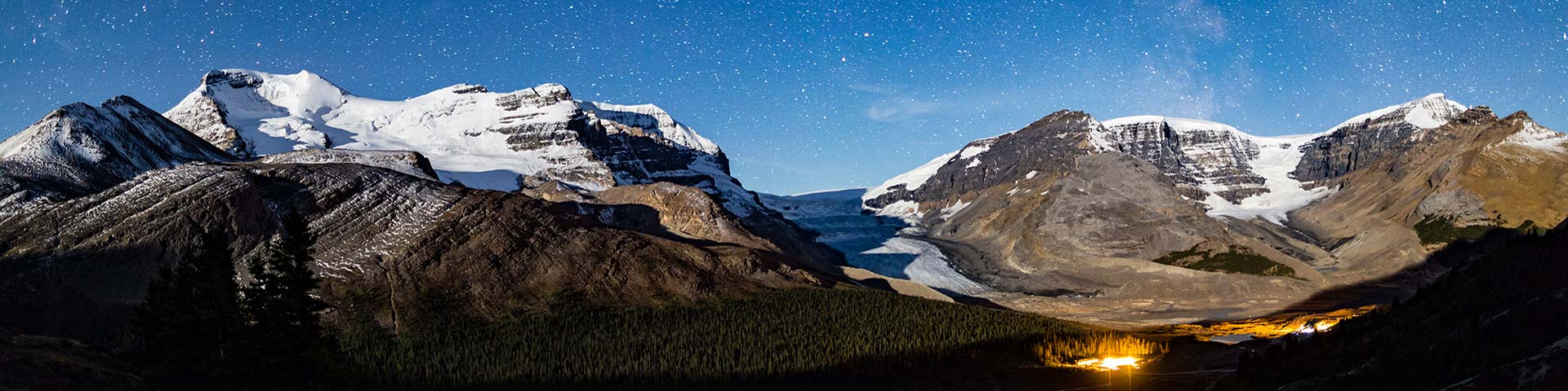
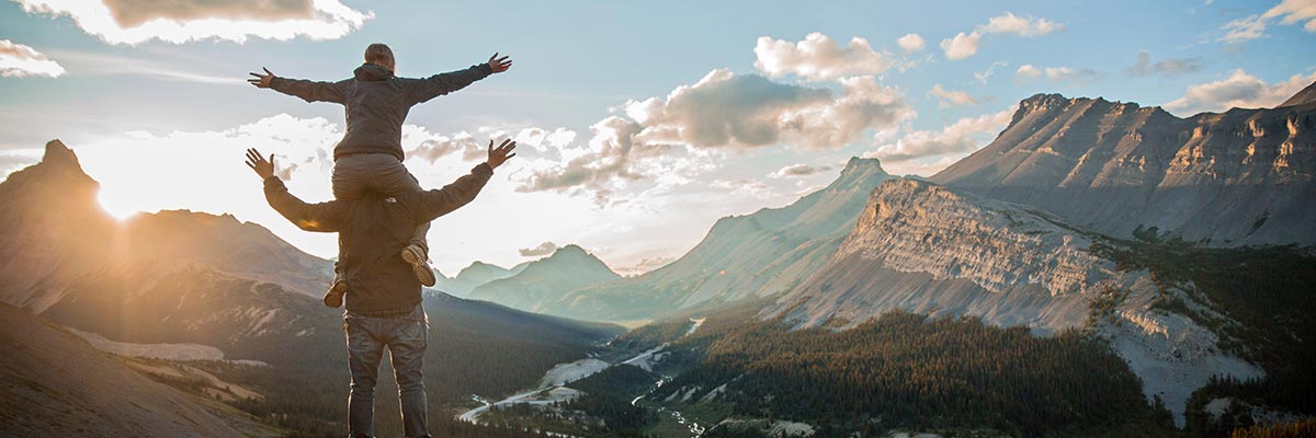
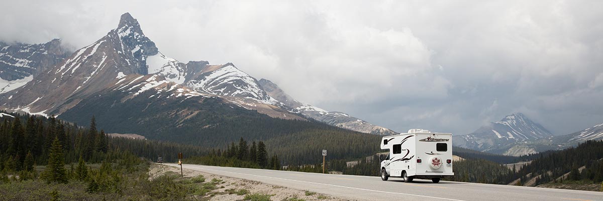
Since it opened in 1940, visitors from around the world flock to the Icefields Parkway to witness jaw-dropping views of mountains, glaciers, turquoise lakes, rivers and wildlife. The stretch of road from Jasper to Lake Louise winds its way through sweeping valleys and by ancient glaciers. The landscape is rich in history, and visitors have the opportunity to learn about early travel through the Canadian Rockies. Spend the night at one of the campsites along the Icefields Parkway and count the stars in one of the world’s largest Dark-Sky Preserves. With so many stunning spots to snap photographs and trails to hike, set out to explore the Icefields Parkway on your next adventure.
-
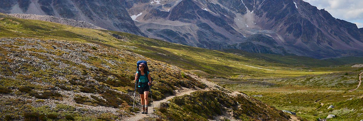
Top 5 day hikes
Parker Ridge For these popular hikes, travel 15 to 120 km south from Jasper along the Icefields Parkway.
- Valley of the Five Lakes – Trails 9, 9a and 9b (moderate); 4.5 km loop; 66 m elevation gain/loss; 2 hours. Trailhead: 9 km south on the Icefields Parkway.
-
Wilcox Pass – Trail 50 (moderate); 3.4 km return to the red chairs, 1 hour; 8 km return to the pass, elevation gain/loss 390 m, 2-3 hours. Trailhead: The parking area on the left-hand side of the Wilcox Creek Campground entrance road, 3.1 km south of the Icefield Centre.
-
Nigel Pass – Trail 130 (moderate); 14.4 km return; 365 m elevation gain/loss; 5-hour round trip. Trailhead: 13 km south of the Icefield Centre, park at the start of a gated road on the east (left) side of the Icefields Parkway. Please do not block the gate.
-
Parker Ridge – Trail 51 (moderate); 5.4 km return; 250 m elevation gain/loss; 3-hour round trip. Trailhead: 9 km south of the Icefield Centre on the Icefields Parkway, past Hilda Creek Hostel.
- Toe of the Glacier – Trail 52 (moderate); 1.8 km return; 60 m elevation gain/loss; 1 hour. Trailhead: Across from the Icefield Centre, at end of Toes of the Glacier Road.
-
Top 5 backcountry hikes
Brazeau Loop Jasper National Park offers a range of backcountry opportunities. Here's some of our favorites along the Icefields Parkway.
-
Athabasca Pass – 98 km
(7 to 10-day trip)
- Big Bend – 12.6 km (2-day trip)
-
Brazeau Loop – 80 km (4-day trip)
- Fryatt Valley – 44 km (3-day trip)
- Geraldine Lakes – 12.4 km (2-day trip)
-
Athabasca Pass – 98 km
(7 to 10-day trip)
-
Accommodation options
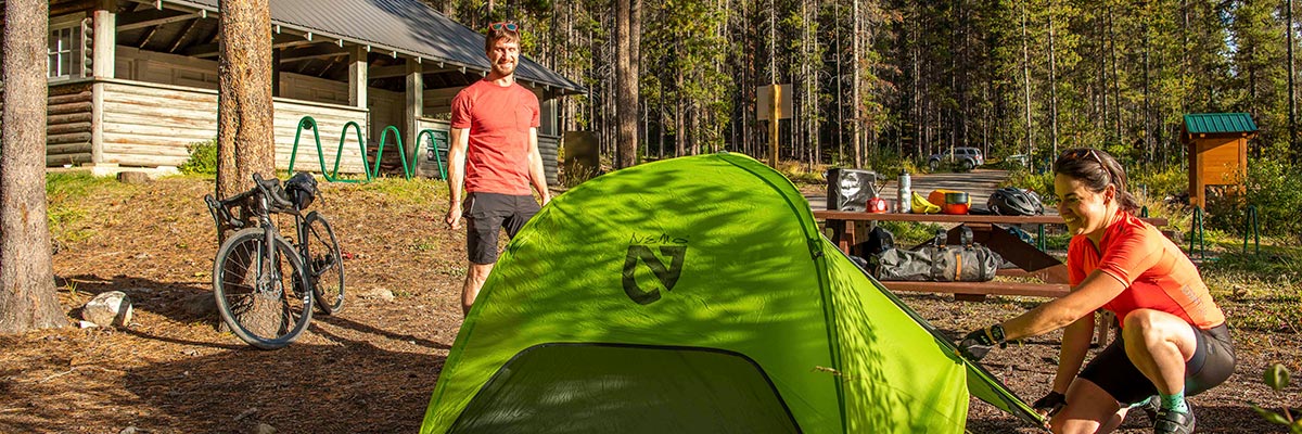
Honeymoon Lake Campground Campgrounds
Banff National Park: Mosquito Creek, Silverhorn Creek, Waterfowl Lakes, Rampart Creek.
Jasper National Park: Wilcox, Icefield Tents, Icefields RV Centre, Jonas, Honeymoon Lake, Kerkeslin, Wabasso, Wapiti and Whistlers.
Hostels
- Rampart Creek Hostel
- Mosquito Creek Hostel
- Hilda Creek Hostel
- Beauty Creek Hostel
- Athabasca Falls Hostel
- Jasper International Hostel
Hotels
- Num-Ti-Jah Lodge
- The Crossing Resort
- The Glacier View Inn
- Sunwapta Falls Rocky Mountain Lodge
-
Fast facts
Location, location, location
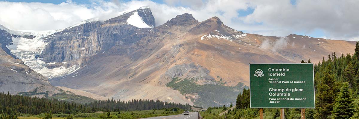
- The Icefields Parkway travels through two national parks: Banff National Park and Jasper National Park.
- Located in Alberta, Canada it links Lake Louise in the south to Jasper in the north.
- Given that the route runs along the Great Divide, the journey took weeks by horse pack prior to the completion of the road.
- The Icefields Parkway travels through two of the highest passes accessible to drivers: Bow Pass (2,067 m) and Sunwapta Pass (2,030 m).
Bragging rights
- The Icefields Parkway has been recognized as one of the top ten scenic drives in the world.
- The Great Divide is home to two national historic sites: Howse Pass and Athabasca Pass national historic sites.
- The wilderness around the Icefields Parkway is home to several at-risk plant and animal species including the star of the Canadian 25-cent coin: the elusive Woodland Caribou. You might spot bighorn sheep, mountain goats, deer, black bears, wolverines, eagles and marmots. If you’re lucky you might even spot a grizzly bear or a gray wolf.
By the numbers
-
The Icefields Parkway is the 93 N it and stretches for 230 km.
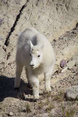 Baby mountain goat at Goat Lick viewpoint
 - More than 1.2 million visitors travel the Icefields Parkway each year.
- It took 600 men 10 years to build the highway using hand labour and horses. Only one tractor was allowed per work crew.
- The waters from the Columbia Icefield flow to three different oceans: the Arctic, the Atlantic and the Pacific.
- There are 13 campgrounds, 6 hostels and
3 resorts along the Icefields Parkway ready to host visitors for the night.
Mountains, glaciers and all things nature
- Early mountaineers and geologists found fossils of sea creatures high on the mountain peaks. The mountains along the Great Divide were once the ocean floor.
- The valleys surrounding the Icefields Parkway were filled with ice 8,000 years ago. Only the highest peaks were poking through the ice.
- Water flowing through and from the glaciers creates underground rivers and caves. The longest known cave system in Canada, the Castleguard Caves, lies hidden underneath the Columbia Icefield.
- The Great Divide icefields meltwater provides critical summer flow for rivers that deliver water to Western North America’s farms, prairies, industrial areas, cities and towns.
- The Athabasca Glacier is the only glacier on the Columbia Icefield accessible by road. Its less accessible brother, the Saskatchewan Glacier, is nearly twice its size.
- The ice at the centre of the Athabasca Glacier is as thick as the Eiffel Tower is tall.
- Glaciers can move between 25 to 15 meters a year.
Who? When?
Before the road opened, horse outfitter Jack Brewster led annual “Trail of the Glaciers” packhorse trips between Banff and Jasper. The trips took three weeks one way.
- 1811: David Thompson established Athabasca Pass as the key route to the Pacific.
- 1846: Paul Kane sketched his way across the mountains.
- 1885: the Canadian Pacific Railway was finished. Hurray!
- 1896: Walter Wilcox and R.L. Barrett crossed the Great Divide area via the Sunwapta Valley along the route used today by the Icefields Parkway.
- 1905: Mary Schaeffer and Mary Adams explored the area purely for the joy of being out in the mountains.
They became the first “tourists”
- 1924: Banff photographer Byron Harmon organized an expedition to take the first significant photographs and film-footage of the Columbia Icefield.
- 1931: Construction of the Icefields Highway begins.
- 1941: The Icefields Highway opens.
- 1950: Cars are more affordable allowing travelers to flock to the mountains.
- 1961: Officially opened! The new paved and realigned modern Icefields Parkway starts welcoming visitors.


 Baby mountain goat at Goat Lick viewpoint
Related links
- Date modified :