
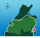
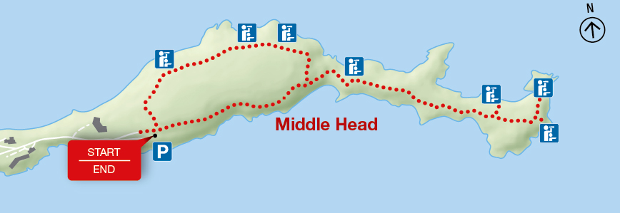
Middle Head
Cape Breton Highlands National Park
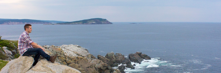
The trail follows a long, narrow peninsula separating two ocean bays, ending on headland cliffs overlooking the Atlantic Ocean, Cape Smokey and Ingonish Island.
There are opportunities to see seabirds, seals, whales and eagles, as well as fishing boats in the early summer.
| Length | 3.8 km / 2.4 mi (loop) |
   |
| Rating | Moderate |
|
| Elevation | 5 - 45 m (15 - 150 ft) | |
| Time | 1 - 2 hours | |
| Significant features | Coastal headland and vegetation Interpretive loop. Mostly level with short climbs. Some rocky, rugged sections. |
|
| Trailhead | Just beyond the Keltic Lodge (civic address: 383 Keltic In Road, Ingonish) Lat: 46.655391 Long: -60.372142 |
Related links
- Acadian
- Salmon Pools
- Le Chemin du Buttereau
- Le Buttereau
- Le vieux chemin du Cap-Rouge
- Corney Brook
- Skyline
- Bog
- Benjie's Lake
- Fishing Cove
- MacIntosh Brook
- Lone Shieling
- Aspy
- Mica Hill
- Jack Pine
- Coastal
- Jigging Cove Lake
- Green Cove
- Broad Cove Mountain
- Warren Lake
- Branch Pond Look-off
- Franey
- Clyburn Valley
- Freshwater Lake Look-off
- Freshwater Lake
- Date modified :