
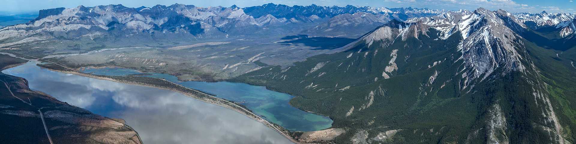
Jasper Lake is a wide, shallow section of the Athabasca River beside the Yellowhead Highway. Travel by it on your way to Jasper from Edmonton!
Getting here
Jasper National Park
Jasper National Park is situated 370 km (192 mi) west of Edmonton, 404 km (256 mi) northwest of Calgary and 805 km (500 mi) northeast of Vancouver (map of Alberta).
By vehicle
The Trans-Canada Highway 16 (also called the Yellowhead Highway) runs through the park and is the main route to and from Jasper. The Icefields Parkway connects Jasper with the Trans-Canada Highway 1 near Lake Louise and Banff.
All major roads in Jasper are paved and all major highways have paved shoulders. Make sure to factor in plenty of time for breaks, slow traffic, and inclement weather conditions. The maximum speed limit inside the national parks is 90 km/hr, with several areas having slower limits for wildlife safety.
Some roads, especially the Mt. Edith Cavell road, can be rough and difficult to navigate with large recreational vehicles because of tight hairpin bends. Long, steep grades of 8-11% can be found on the Icefields Parkway especially near Bow Lake and when ascending/descending the Sunwapta Pass in the Columbia Icefield Area.
By air
Edmonton, Calgary and Vancouver all have international airports that are serviced by major national and international carriers. Learn more about airline service to (Edmonton) (Calgary) (Vancouver)
By rail
Via Rail has regular train service to Jasper via Edmonton and Vancouver. Learn more about Via Rail service to Jasper
By bus
SunDog Transportation and Tours offers daily Jasper - Edmonton connector shuttle service.
Learn more about Sundog Transportation and Tours
Brewster Express offers tour buses to and from Jasper via Banff along the spectacular Icefields Parkway.
Learn more about Brewster Express
By rental car
There are several car rental agencies located in the Jasper and Banff townsites.
Related links
- Trail condition report
- Road restrictions and seasonal closures
- Accessible park facilities
- JasperNow
- Summer crowds
- Camping and accommodation
- Fees
- Fire information and updates
- Facilities and services
- Hours of operation
- Jasper Transit
- Brochures and publications
- Event rentals
- National Park Regulations
- Weather
- Date modified :