
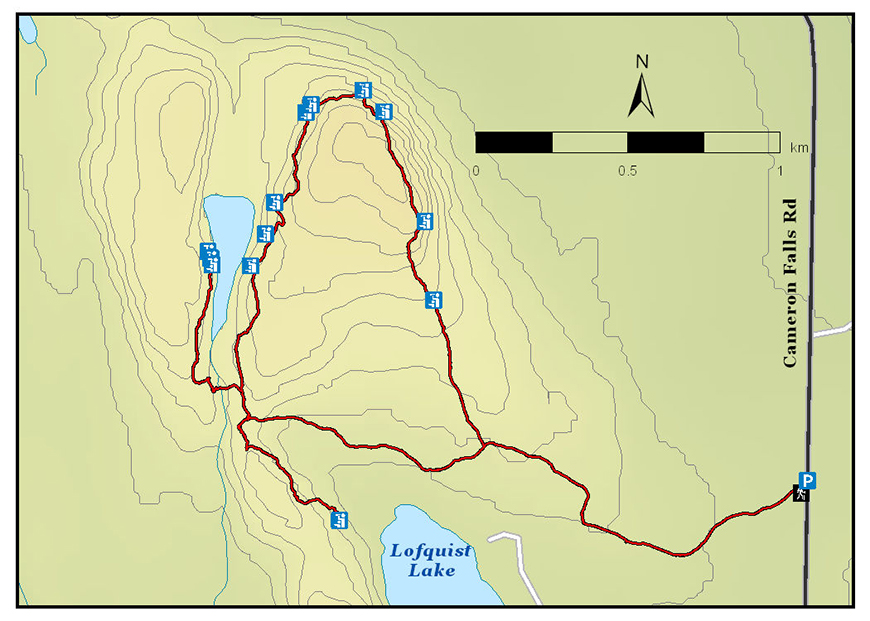
Deer Lake Mountain Trail
Lake Superior National Marine Conservation Area
Organization: Nor'Wester Voyageur Trail Club
Classification: Difficult (Be advised: short black diamond sections with steep climbs, unstable footing)
Distance: 6.6 km loop, with two short lookout trail spurs
Elevation Gain: 145m
Estimated Time: 3-4 hours
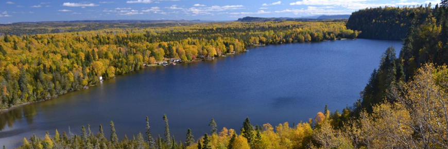
Features: Thirteen cliff-top lookouts with panoramic views of Nipigon Bay, Nipigon River, Deer Lake, No Good Lake, Lofquist Lake and Black Bay. Old growth cedar forest, beaver dam.
Description: This is a wilderness recreation trail. The wooded trail gradually climbs to the top of a cuesta and circles the perimeter with incredible views in all directions before returning to the trailhead. Trail spurs to cliffs overlooking No Good Lake and Lofquist Lake are optional. A beaver dam must be crossed on the No Good Lake spur trail.
Directions: From Highway 11/17, drive 3.4 km north on Hwy 585. A trailhead sign on the left near the bushline marks the start of your hike. Parking is available on either side of the road.
- Date modified :