
Maps
Vuntut National Park
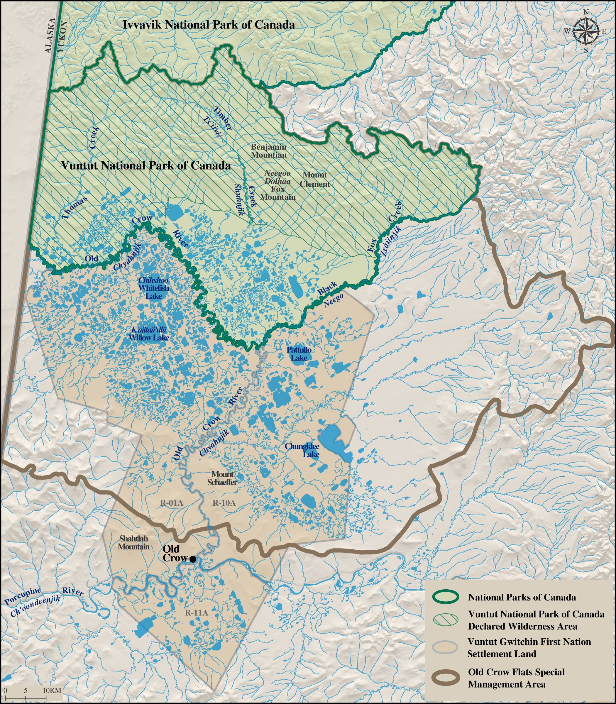
Vuntut National Park
Map of Vuntut National Park (PDF - 3 MB)
Topographic Maps
Three map sheets cover the entire park at the 1:250,000 scale:
- Old Crow (116 O and 116 N)
- Davidson Mountains (117 B)
- Blow River (117 A)
For any trips involving route finding, travellers should use 1:50,000 scale topographic maps. These may be ordered from:
Related links
- Date modified :