
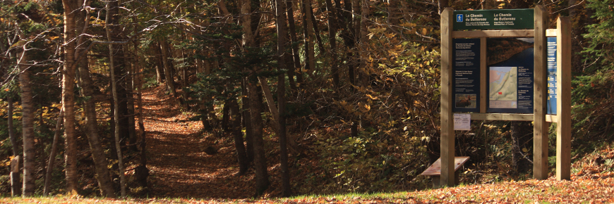
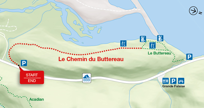
Le Chemin du Buttereau
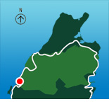
Cape Breton Highlands National Park
Retrace the steps of the Acadian pioneers who travelled this cart path from Le Buttereau, a small settlement of seven families, to Chéticamp. The open fields and bits of foundations are visible reminders of those hardy settlers. This trail offers glimpses of the Chéticamp River, old pastures, small mammals and birds.
| Length | 4.6 km / 2.9 mi (return) |
     |
| Rating | Easy  |
|
| Elevation | 25 - 65 m (80 - 215 ft) | |
| Time | 1.5 hours | |
| Significant features | Acadian forest, history, river floodplain Short climbs. Suitable for most skill levels. |
|
| Trailhead | On the Cabot Trail near the turn-off for the Chéticamp campground Lat: 46.655560 Long: -60.948357 |
Related links
- Acadian
- Salmon Pools
- Le Buttereau
- Le vieux chemin du Cap-Rouge
- Corney Brook
- Skyline
- Bog
- Benjie's Lake
- Fishing Cove
- MacIntosh Brook
- Lone Shieling
- Aspy
- Mica Hill
- Jack Pine
- Coastal
- Jigging Cove Lake
- Green Cove
- Broad Cove Mountain
- Warren Lake
- Branch Pond Look-off
- Franey
- Clyburn Valley
- Middle Head
- Freshwater Lake Look-off
- Freshwater Lake
- Date modified :