Canada.ca
 Gouvernement du Canada /
Government of Canada
Gouvernement du Canada /
Government of Canada
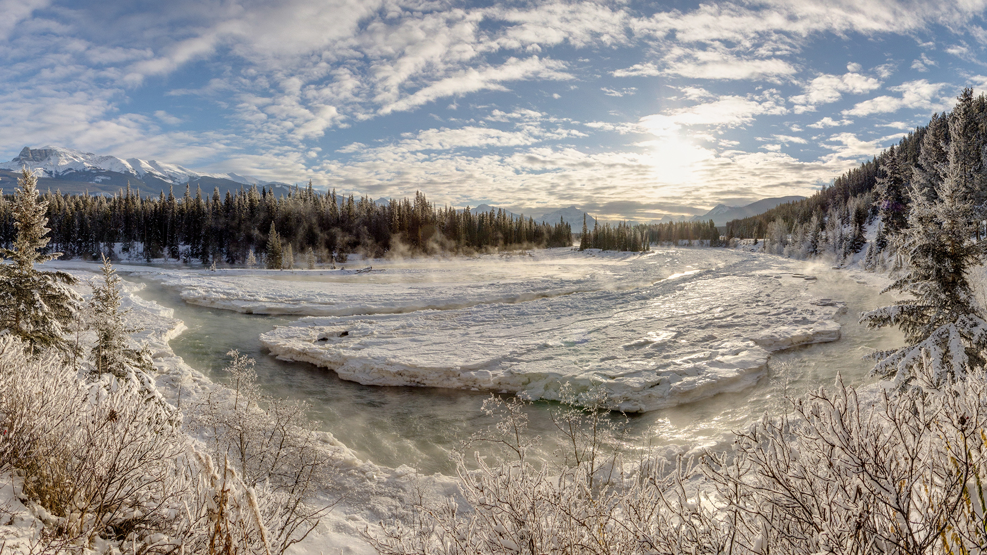
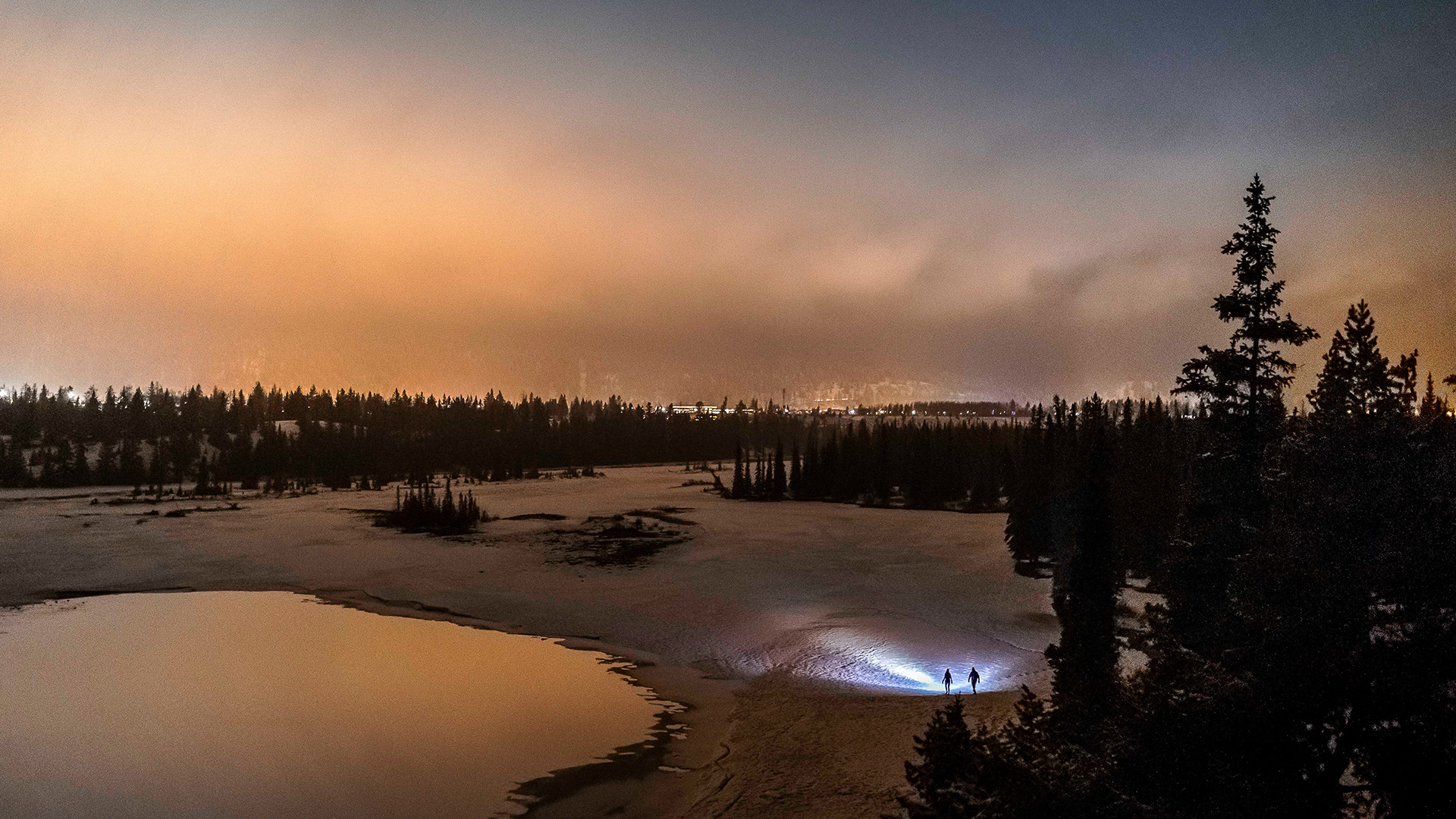
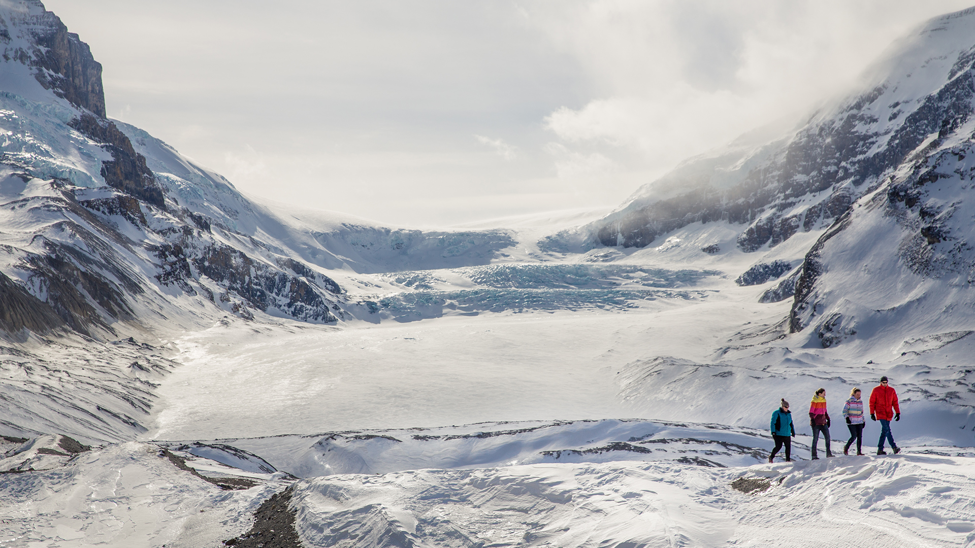
Parc national Jasper
Jasper National Park
 / Symbole du gouvernement du Canada