
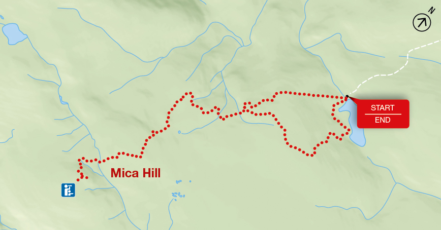
Mica Hill
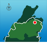
Cape Breton Highlands National Park
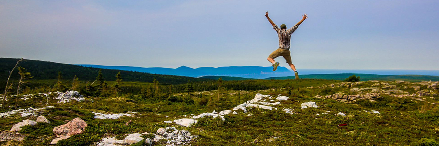
This breathtaking trail winds through Acadian mixed forest and stunted taiga as it climbs to the wind-swept highlands plateau. It offers 360º views spanning the barrens, the dramatic Aspy fault, coastal villages far below and mountains reaching the most northern tip of Cape Breton. Continue along a narrower footpath to Mica Hill’s remarkable outcrops of quartz and mica.
| Length | 7.9 km / 4.9 mi (loop) |
   |
| Rating | Moderate  |
|
| Elevation | 260 - 410 m (850 - 1,345 ft) | |
| Time | 3 - 3.5 hours | |
| Significant features | Highlands taiga, mica outcrop Gradual climb. |
|
| Trailhead | Take the Paquette Lake Road and park at the lake Lat: 46.834629 Long: -60.434124 |
Related links
- Acadian
- Salmon Pools
- Le Chemin du Buttereau
- Le Buttereau
- Le vieux chemin du Cap-Rouge
- Corney Brook
- Skyline
- Bog
- Benjie's Lake
- Fishing Cove
- MacIntosh Brook
- Lone Shieling
- Aspy
- Jack Pine
- Coastal
- Jigging Cove Lake
- Green Cove
- Broad Cove Mountain
- Warren Lake
- Branch Pond Look-off
- Franey
- Clyburn Valley
- Middle Head
- Freshwater Lake Look-off
- Freshwater Lake
- Date modified :