
Plan your visit
Port au Choix National Historic Site
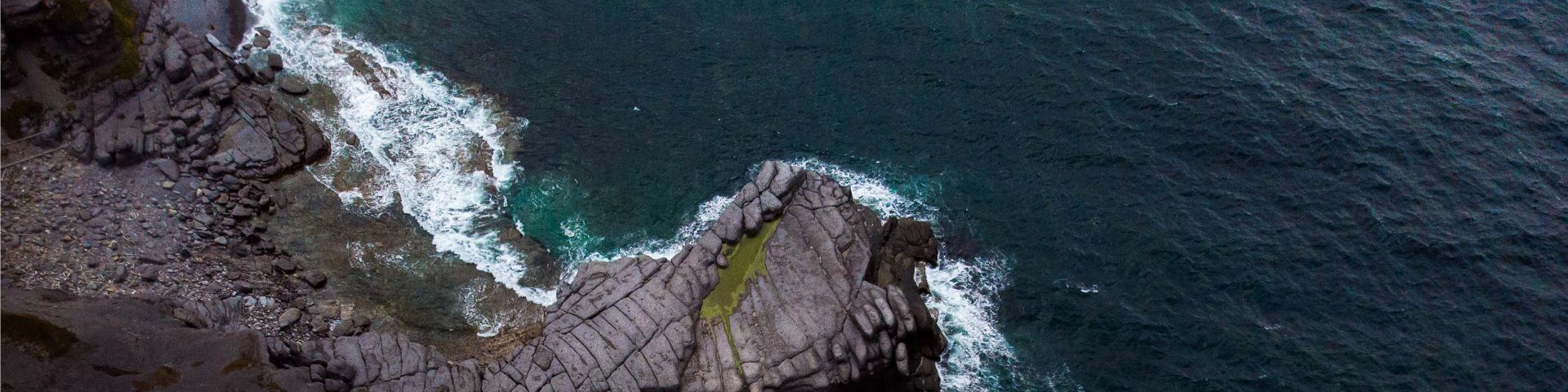
Set on Newfoundland’s northwestern coast, Port au Choix is a vibrant fishing community located midway along The Viking Trail on Route 430. Plan to spend two hours exploring the region’s rich archaeological finds, rare plants and fossils, limestone barrens and coastal hiking trails. The port town is less than a 2 hour drive north from Gros Morne National Park, and a 3 hour drive north of the Deer Lake airport.
Visitor guide
Visitor guide for National Historic Sites in Western Newfoundland and Labrador
How to get here
Location
P.O. Box 140
Port au Choix NL, Canada
A0K 4C0
Phone
Telephone (seasonal): 709-861-3522 Telephone (off-season): 709-458-2417
Directions
Port au Choix National Historic Site is located in the community of Port au Choix on the west coast of Newfoundland’s Great Northern Peninsula. The site is 230 km from the Trans-Canada Highway via Route 430: the Viking Trail. The Viking Trail begins in the town of Deer Lake located along the Trans-Canada Highway 268 km north of Port aux Basques. As you head north on the Viking Trail towards Port au Choix, you will pass through Gros Morne National Park. Approximately 110 km north of Gros Morne is the community of Port Saunders. Turn off the Viking Trail and proceed through Port Saunders towards Port au Choix. Halfway through the town of Port au Choix, you will find the Point Riche Road, which brings you to the Visitor Centre.
Facilities and services
- Date modified :