Wheeler, Arthur Oliver National Historic Person
Jasper National Park of Canada, Alberta
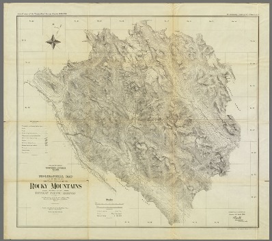
Arthur Oliver Wheeler, topographer
© Bibliothèque et Archives Canada / Library and Archives Canada / C-3697299
Address :
Jasper National Park of Canada, Alberta
Recognition Statute:
Historic Sites and Monuments Act (R.S.C., 1985, c. H-4)
Designation Date:
1995-07-06
Life Date:
1860 to 1945
Other Name(s):
-
Wheeler, Arthur Oliver
(Designation Name)
Research Report Number:
1995-031
Importance:
Important topographical surveyor; supporter of National Park Movement; co-founder of Alpine Club
Plaque(s)
Existing plaque: on a large boulder, on the edge of the Columbia Icefields Centre parking lot Jasper National Park of Canada, Alberta
A preeminent topographical surveyor, Wheeler represented British Columbia on the commission which located and marked the boundary with Alberta between 1913 and 1925. His party surveyed and mapped the 1000 km-long mountain section, using photographs taken from high elevations. An established expert in this technique, Wheeler also studied the movement of glaciers along the boundary. In 1906 he co-founded the Alpine Club of Canada, and as a leading preservationist helped create the Canadian National Parks Association. The boundary survey stands as his greatest achievement.